
To understand how Table Rock Lake formed, we need to rewind back to the early 1900's, when the White River still ran freely through Arkansas and the Missouri Ozarks. In 1910, construction began on the first White River Dam, Powersite Dam near Forsyth, MO. After 3 years of construction, this hydroelectric dam went into operation in 1913. Because the dam impedes the White River's flow, a reservoir formed which is now known as Lake Taneycomo.
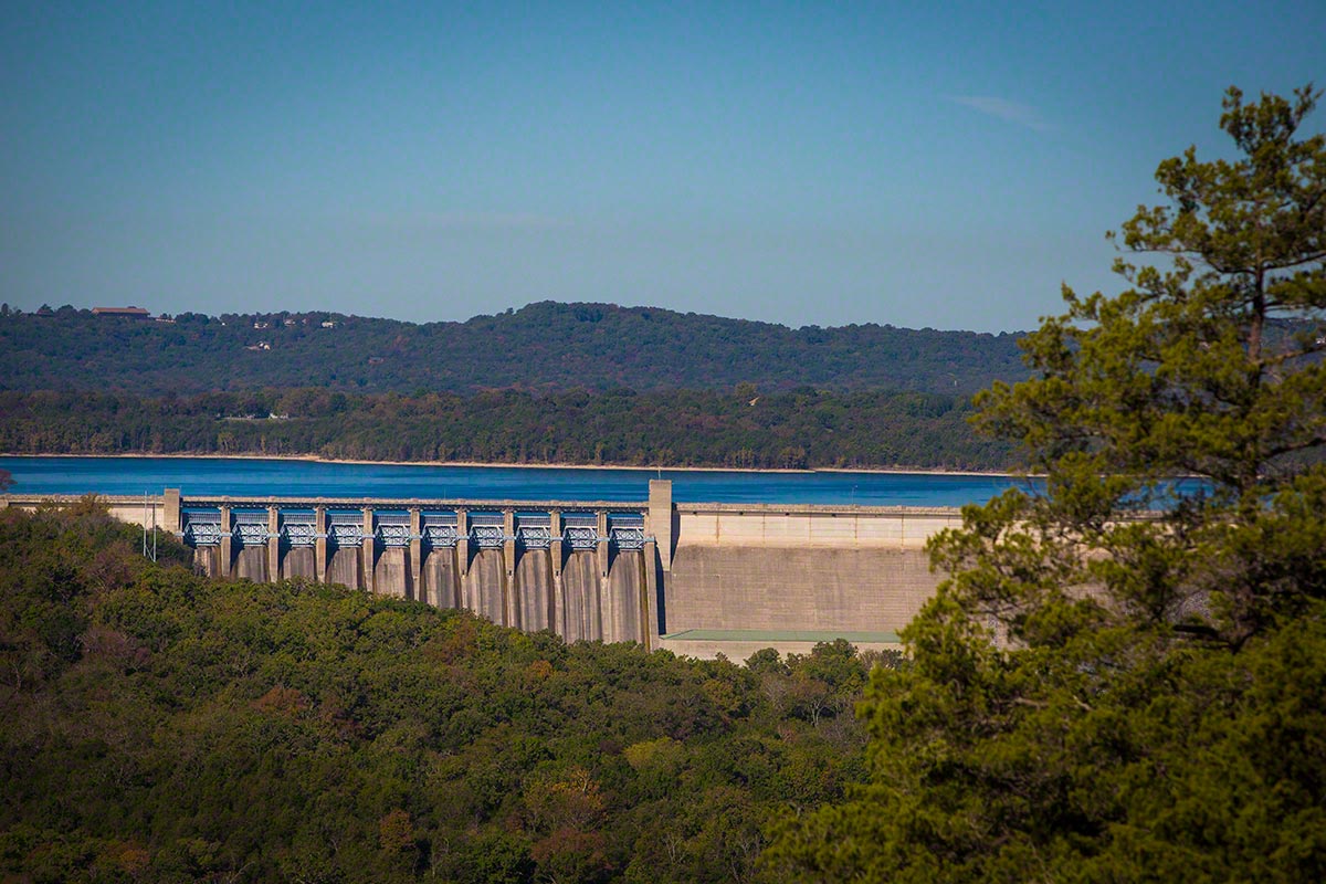
Jumping forward 25 years to 1938, Congress passed a flood control act, which authorized civil engineering projects such as dams, levees, dikes, and other flood control measures throughout the United States. This Act eventually led to the US Army Corps of Engineers beginning construction on Table Rock Dam in 1954. Around 1958-1959, Table Rock Dam went into operation and created the reservoir known as Table Rock Lake.
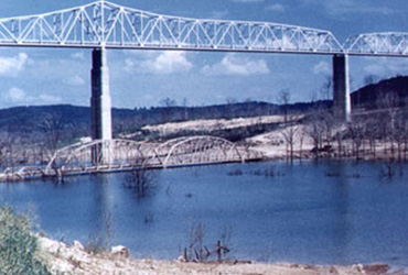
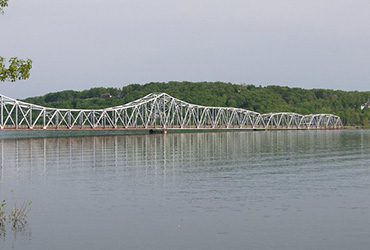
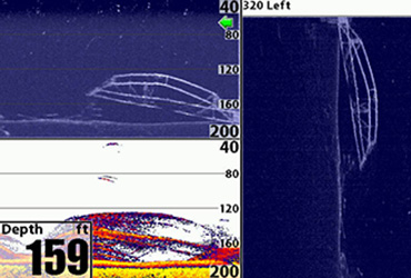
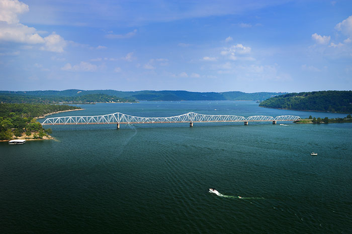
Dropping over 1 million cubic yards of concrete measuring 252 feet high in the middle of a river has enourmous impacts upstream! Essentially, it created a reservoir of water covering over 43,000 acres. In an interesting twist, The US Army Corps of Engineers assumed the reservoir would take months to fill. Well, Mother Nature had it her way that year and dumped record rainfalls across the area. This caused the reservoir known as Table Rock Lake to fill in only days. Due to this rapid backup of water, the original Kimberling City Bridge (shown below), which was scheduled to be torn down, became completely submerged under approximately 150 feet of water and remains partially intact to this day.
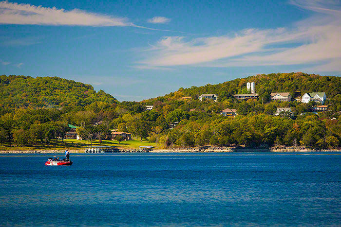
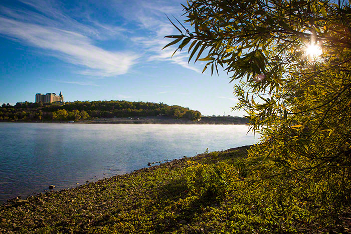
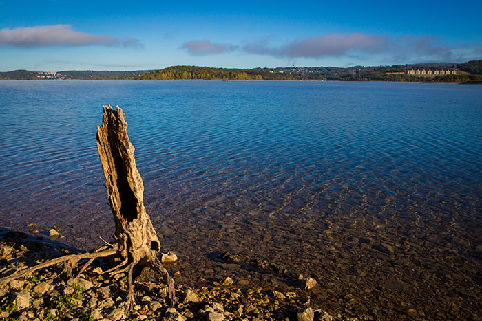
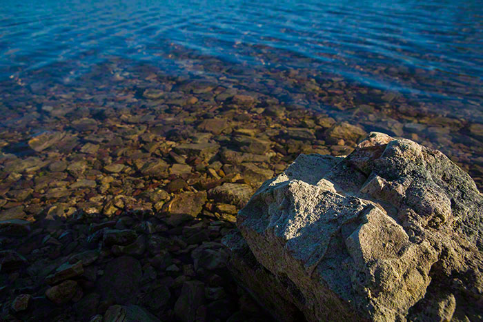
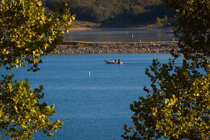
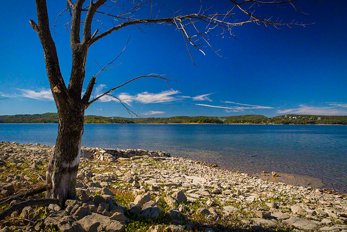
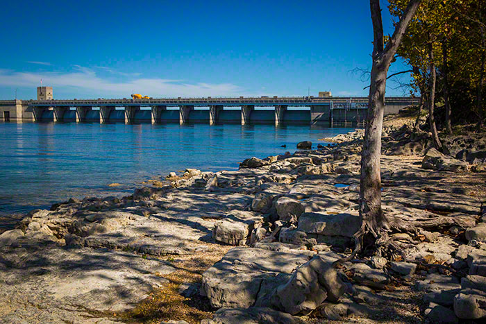
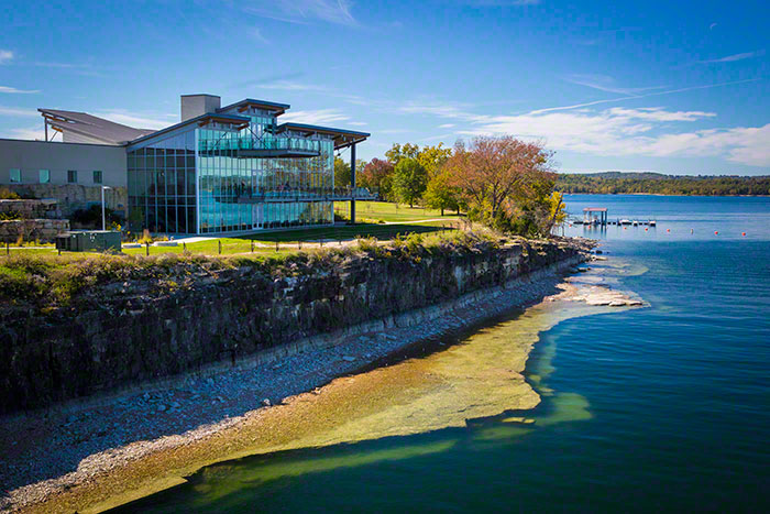
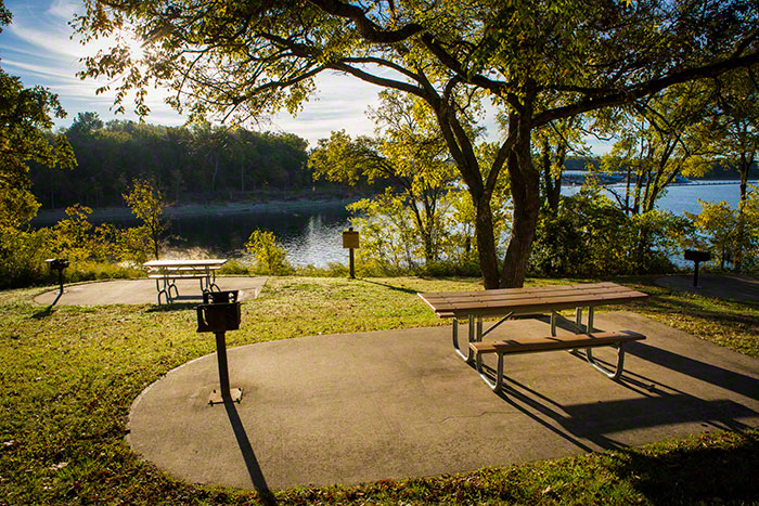
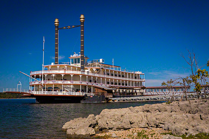
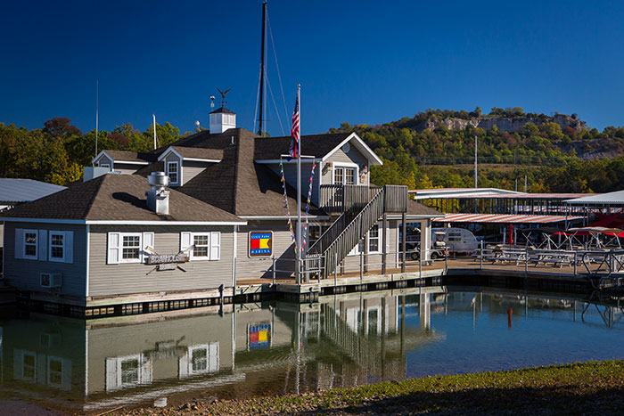
Take a look at the Table Rock Lake Pictures below.